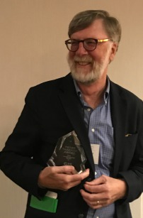
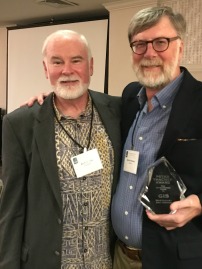
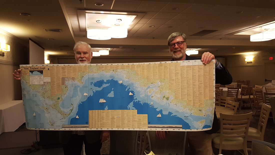
2016 Peter S. Thacher Award Recipient: David Weaver
|
Acceptance Remarks
Thank you Rich Grady for that wonderful introduction. And thank you NEARC. I’m so pleased but a bit surprised to receive this award, as I haven’t directly saved an acre of wetland or a rare animal. I can say I’ve helped a lot of folks who have, and it’s been a great journey. I feel like I’m on my 3rd generation of mapping since I got my geography degree in 1974. Those were the pen-and-ink days of mapping, done in the back office, a bit of a backwater, a somewhat solitary occupation. There was no NEARC! It took months to collect data and make a serious map. And then you had to get it printed and distributed. But that era also had good knowledge of geographic data collection and analysis that is still relevant today. After a dozen years of manual cartography, GIS started to roll out in New England and the nation, resulting in statewide data development projects in cooperation with the USGS. I was very fortunate to be hired to help start what became MassGIS. It was a dream project for a geographer, processing and making USGS’s wonderful topo base map useful in GIS to overlay key environmental data sets that we were also automating from various sources. Plus the value of geographic data was exploding at the same time. Early GIS was so different from today; a world of mainframe computers, tape reels, ‘dumb terminals,’ Arc/Info 3.2, CPL then AML, digitizing tables, penplotters and fax machines. Most maps we created were 3x4 feet in size, just because we could; they took hours to plot. So many talented people behind MassGIS that I can’t name them all; Rick Taupier, Mike Terner (the point of the GIS spear in Massachusetts), Julio, Beth, Saiping and Pete Steeves of USGS, Christian, Neil, and Anita of EOEA. When I look back on my career, MassGIS is the single project I’m most proud if. I hope you each can work on projects you feel the same about. Starting in 1986, NEARC was a seminal forum for improving GIS in the Northeast. It was all about “users helping users,” and it was extremely important to the development of GIS in the Northeast and even nationally. NEARC annually put together a list of software enhancements they would like to see developed by ESRI. (This was before it could do everything.) Remember, email was not a common technology, even within agencies, and Gary Smith was our first proponent of Arcmail that ESRI was experimenting with, and this wetted our appetite for email as a way to help each other. So many wonderful people, and many still in the field. Gary and Eileen in VT; John and Howie in CT; Pat Cummins in NJ; Peter Dan, Chuck and Carol in RI; Jim and Fay in NH; Larry and Sam from NY, and so many others. Users helping users. Those of us who attended the ESRI national conferences in Palm Springs in the late 80’s well remember NEARC’s esprit de corps, especially on “Taking Care of Business” Thursday night! It was hard for me to leave MassGIS 25 years ago and work in the private sector, but it turned out great. I’ve been able to assist many state and local government agencies in developing base maps and applications. Many of these projects have helped conservation work. I won’t try to summarize the past two decades, but they became my 3rd generation of mapping: web mapping, big data, large scale map accuracy, sophisticated analysis and applications. I retired a couple of years ago, and poking around 2016 NEARC reminds me of my relationship with my children: smarter than me! But I don’t yet have full confidence in this new generation. A few weeks ago I was out in Waterfront Park in Boston and I saw a very well respected web mapping guru walking around with his cellphone. I said “Hi” and asked what he was doing. “Looking for Pokémon,” he said! In my retirement I am doing my bit crowdsourcing environmental data, what Goodchild called volunteer geographic information (VGI). Yesterday I was out photographing the extreme high tide for MyCoast.org. Finally, although advanced mapping technology is wonderful, keep in mind that clients and decision makers are more interested in results than the technology behind them. I learned this lesson early. In high school I worked on sailboats off the Maine coast for summer jobs. One densely foggy day we heard and then saw a motor boat approaching out of nothingness. A lobsterman came alongside and asked, “Which way to Bass Harbor?” I went to the chart, used my parallel rules and started to give him a compass bearing. He interrupted and said, “Don’t give me that mish-mash, just point!” So I did and off he went, putt-putting into the fog. Compared to 30 years ago, NEARC has grown in size and diversity of interests as GIS has matured. You seem to be strong and well-grounded for the future. It is so exciting to be here. Thank you again for the Thatcher award. |


